UN
14 Arran Street
£ 44,475
Description
We don't have a Description for this property.
- Bedrooms
- 2
- Bathrooms
- 0
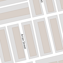
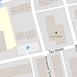

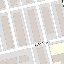
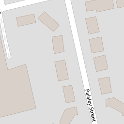


Leaflet © OpenStreetMap contributors
The heatmap indicates the level of crime in the area. The color of the heatmap indicates the crime severity and recency.
Metrics Year-on-Year
- Average area value
- 446,826.00 £Increased by 0.22 %
- Average area rental value
- 1,514.00 £/moDecreased by 8.57 %
- Est rental Yield
- 4.07 %Decreased by 8.74 %
- Crime Rate
- 24.00 %Unchanged by 0.00 %
from 445,846.00 £
from 1,656.00 £/mo
from 4.46 %
from 24.00 %
Nearby Schools
| Name | Type | Ofsted | Distance |
|---|---|---|---|
| Sure Start South West Burnley Children'S Centre | Children's Centre | 0.08 KM | |
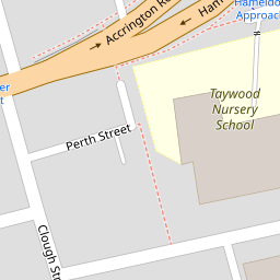
| Taywood Nursery | Local Authority Nursery School | Outstanding | 0.14 KM |
| Coal Clough Academy | Academy Alternative Provision Sponsor Led | Good | 0.25 KM |
| The Rose School | Community Special School | Good | 0.52 KM |
| Cherry Fold Community Primary School | Community School | Good | 0.74 KM |
Images
Nearby Streets
| Name | Average Price | Average Sqft | Distance |
|---|---|---|---|
| B6239 | £ 0 | 0 | 0.00 KM |
| Clare Street | £ 0 | 0 | 0.00 KM |
| Claremont Street | £ 85,000 | 0 | 0.00 KM |
| Powell Street | £ 250,000 | 0 | 0.00 KM |
| Piccadilly Road | £ 65,000 | 0 | 0.00 KM |
Nearby Transport
| Name | NLC | TLC | Distance |
|---|---|---|---|
| Burnley Barracks | 2743 | BUB | 0.71 KM |
| Burnley Manchester Road | 2549 | BYM | 1.52 KM |
| Burnley Central | 2550 | BNC | 2.10 KM |
| Rose Grove | 2722 | RSG | 2.24 KM |
| Brierfield | 2554 | BRF | 5.09 KM |
Nearby Listings
| Address | Price | Type | Score | Distance |
|---|---|---|---|---|
| Arran Street, Burnley, Lancashire, BB11 | £ 50,000 | BUY | Unknown | 0.00 KM |
| Arran Street, Burnley, Lancashire, BB11 | £ 59,995 | BUY | Unknown | 0.00 KM |
| Elmwood Street, Burnley, Lancashire, BB11 | £ 59,995 | BUY | 4 / 10 | 0.07 KM |
| Tay Street, Burnley, Lancashire, BB11 | £ 105,000 | BUY | 5 / 10 | 0.08 KM |
| Howard Street, Burnley, BB11 | £ 145,000 | BUY | 6 / 10 | 0.14 KM |
Nearby Properties
| Address | Price | Distance |
|---|---|---|
| 6 Arran Street | £ 55,000 | 0.00 KM |
| 10 Arran Street | £ 39,950 | 0.00 KM |
| 12 Arran Street | £ 44,000 | 0.00 KM |
| 4 Arran Street | £ 40,500 | 0.00 KM |
| 17 Arran Street | £ 47,500 | 0.00 KM |